Photo CreditJim Grumpf
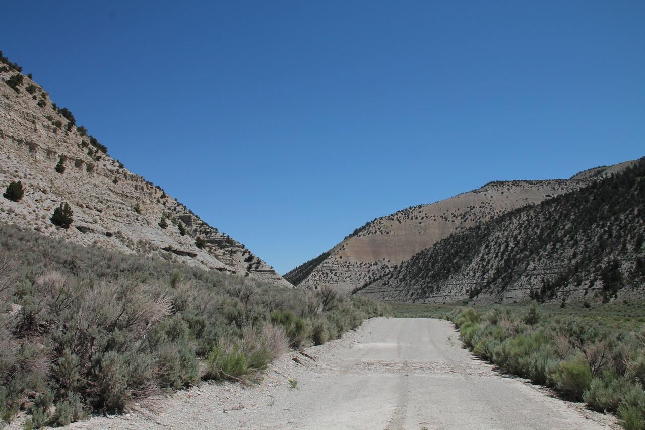
Photo CreditJim Grumpf

Photo CreditMaddison Sorenson
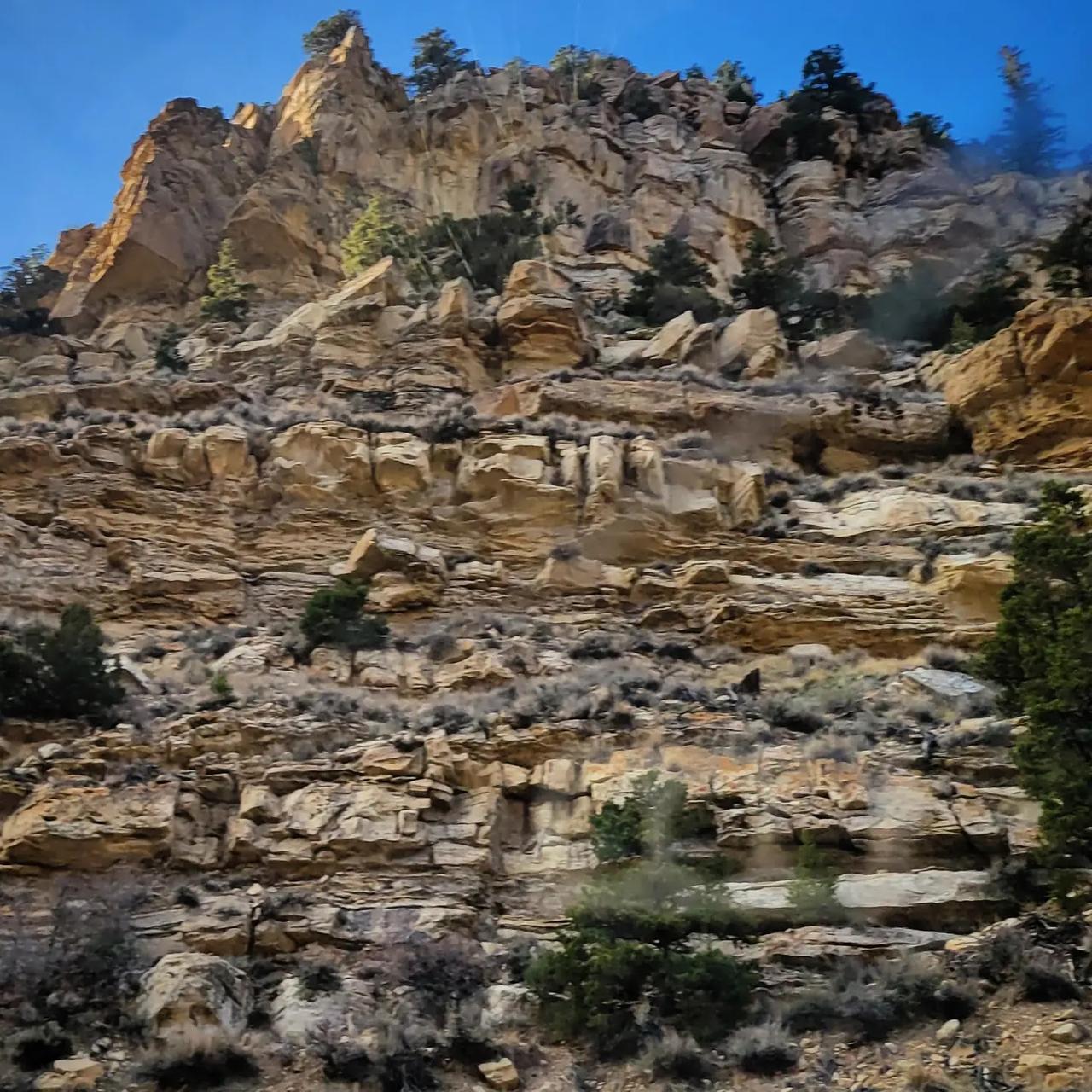
Photo CreditWill James
Photo CreditMaddison Sorenson
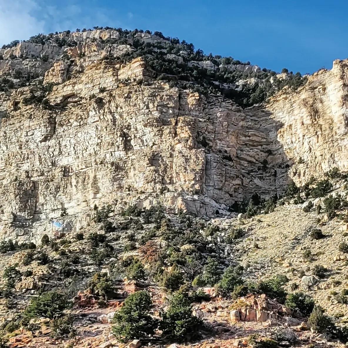
Photo CreditJim Grumpf
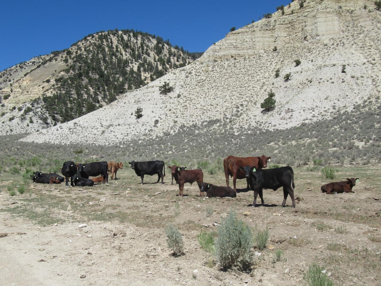
Photo CreditMaddison Sorenson
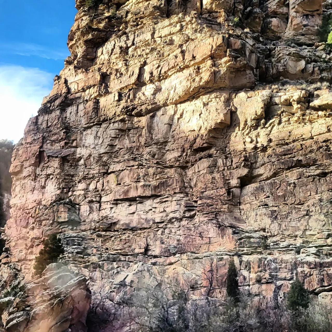
Photo CreditJim Grumpf

Photo CreditMaddison Sorenson
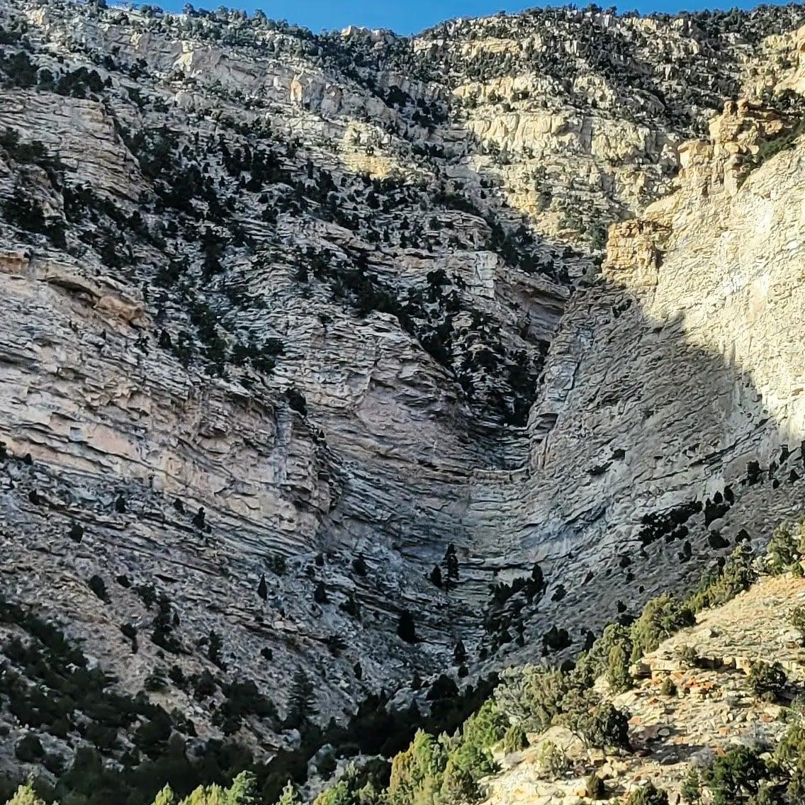
Photo CreditMaddison Sorenson

Stretching southwest of US Highway 191 from Duchesne, this route follows Indian Creek through desert terrain before climbing to the summit of Indian Creek Pass at 9,1000 feet. On the way, you pass unique displays of rock formations and vegetation, from pinyon and juniper to aspen and Douglas fir. Descending the south flank, you pass open vistas and the beginning of the Roan and Book Cliff formations. The byway is 47 miles long and ends in the historic mining town of Helper. Driving time is approximately one hour.